


Geospatial tools help companies map and analyze geographic location data. Geospatial tools with location data equals a new world of data analytics insight that empowers companies to understand spatial relationships. This data can include satellite imagery, census data, cell phone data, and social media data. We'll describe a few ways that a perfect pairing of location data and geospatial tools can produce intelligence for any industry.
Natural resources of spatial data
Nearly everything from the places we go, to the people we encounter, to the brands we buy from is recorded in geospatial databases. There are a number of vibrant data sources available to work with, including both commercial and open source solutions.
These include geospatial databases derived from mobile devices, beacons, raster data (think: satellite images), connected vehicles, and other remote sensing devices.
In addition to capturing foot traffic to and from a given geographical location determined by points, lines or polygons, geospatial data captures cross visitation, and even capture rate.
Combined with demographic data, this can paint a detailed portrait of a given target audiences' interaction with both locations and brands.
Geospatial data has natural confluence with many other forms of both public and business data. When one is used to augment the other, the resulting stream is a flow of real world insights that inform investment decisions, detect change sooner, and measure its effects.
To do these things though, geospatial data must first be rendered useful to the task at hand. That's where geospatial tools come in.
The ecosystem of geospatial tools

There are a number of options to connect geospatial databases to geospatial tools, including solutions for data processing, data analysis and the very important data visualization aspect.
ArcGIS Pro from Esri is a powerful GIS tool that lets you explore, visualize, and analyze data, create 2D maps and 3D scenes, and share your work online.
Another powerful geospatial solution is CARTO, a platform used to optimize and predict future outcomes through the power of geospatial data science.
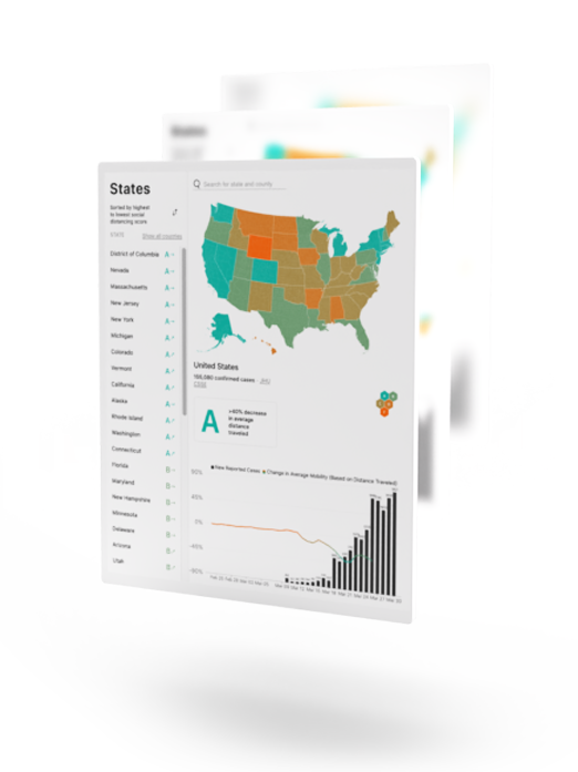
Unacast Insights is a location insights platform and geospatial tool for understanding foot traffic and demographics to specific locations and custom areas. Unacast Insights makes location intelligence easy with AI summaries and quick insights for U.S. markets.
One other category of geospatial tools worth mentioning is in-house processing for first party location data owners, such as telecommunications companies.
In this highly regulated market, privacy-friendly solutions are a must. For first party data owners then, it is worth consulting a category leader such as Turbine.

Use cases for geospatial tools
Both the public sector and private enterprises in many industries apply geospatial data and tools. Everything from high resolution models of public spaces for urban planning, to analyzing foot traffic to inform site selection and competitive intelligence -- it's all informed by geospatial now. Some of the 'crossover' use cases for geospatial tools, which are common to many industries, include:
- Identifying mobility patterns and trends. Get a high level understanding of how people are moving through a defined region over a period of time.
- Improving visitor profiling. With demographic data, you can begin to create a more nuanced picture of customers and understand movement between different venues and brands.
- Informing decisions. The most common geospatial data use case is to inform a decision, very often an investment decision. The bigger the investment to be made, the more information (data) needed.
There are two variations on this geospatial data use case:
- Identifying areas of interest. For example, a retail brand is seeking an optimal location for a new store. In these instances, the use case is to apply geospatial data analytics from different venues to assess potential store locations.
- Comparing sets of areas. For example, a commercial real estate investor wishes to evaluate different multifamily residential development opportunities. The CRE may dig-in around migration patterns indicators and other human mobility trends.
In both data analysis use cases, the ultimate driver is using geospatial data and tools to make an informed investment decision.
To learn more about Unacast’s world of geospatial data solutions, please schedule a meeting today.


